

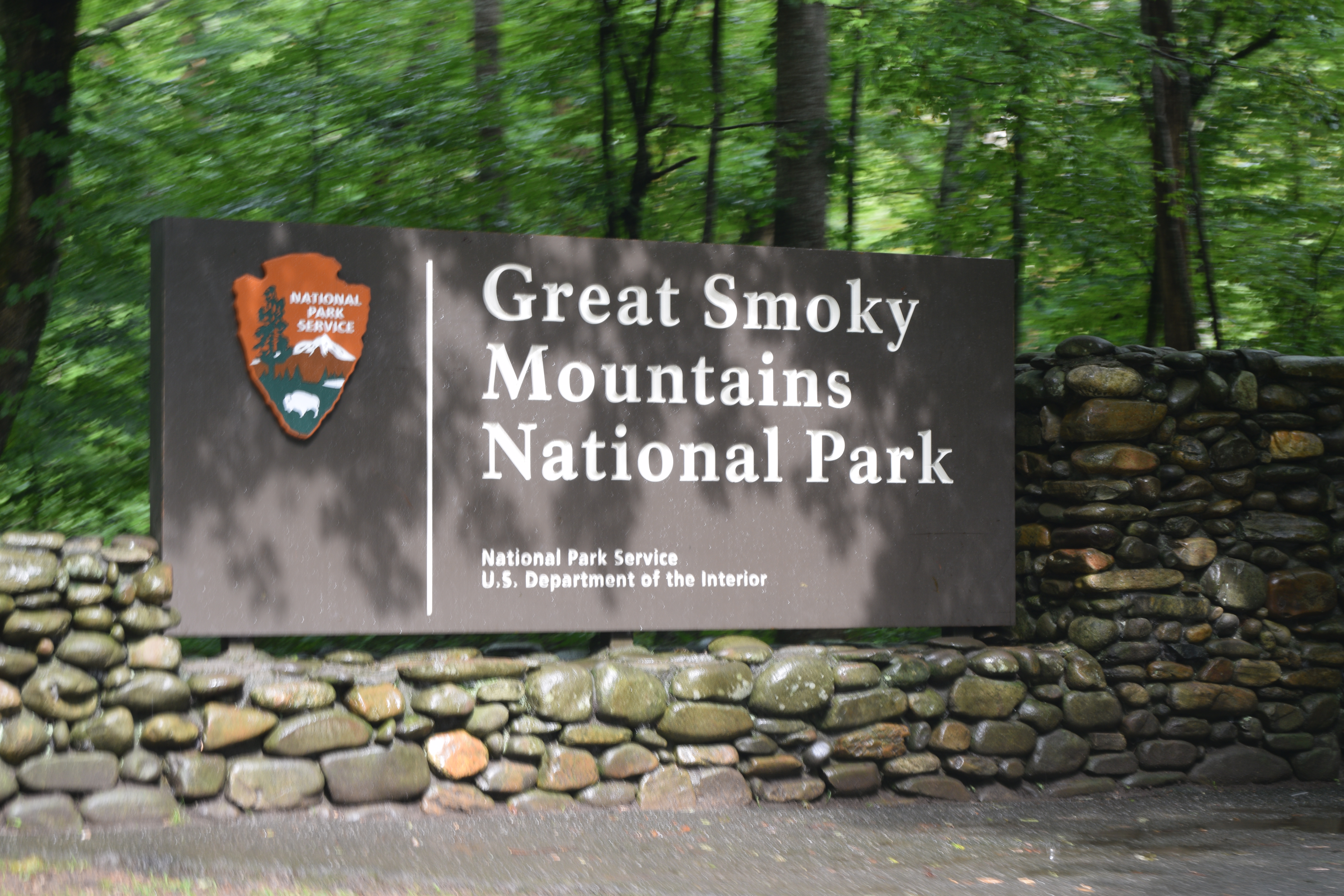
Straddling the states of Tennessee and North Carolina, The Great Smoky Mountains National Park welcomes over 11 million visitors per year, making it the most visited park in the US (even ahead of the Grand Canyon and Yellowstone). The majority of these visitors are happy to stay in satellite towns and make short excursions into the park.
If travelling from abroad then you’re unlikely to just visit the US for a walk in the Smokies! But keep reading – this park can be included in a Tennessee road trip or as a continuation of the Blue Ridge Parkway.
Accessing the park from Gatlinburg in Tennessee, there are two main driving routes which give a good overview of the park and offer plenty of walking trails of varying length and difficulty. A very long day could cover both – but 2 days would be better.
Route 1 – Newfoundland Gap across to North Carolina
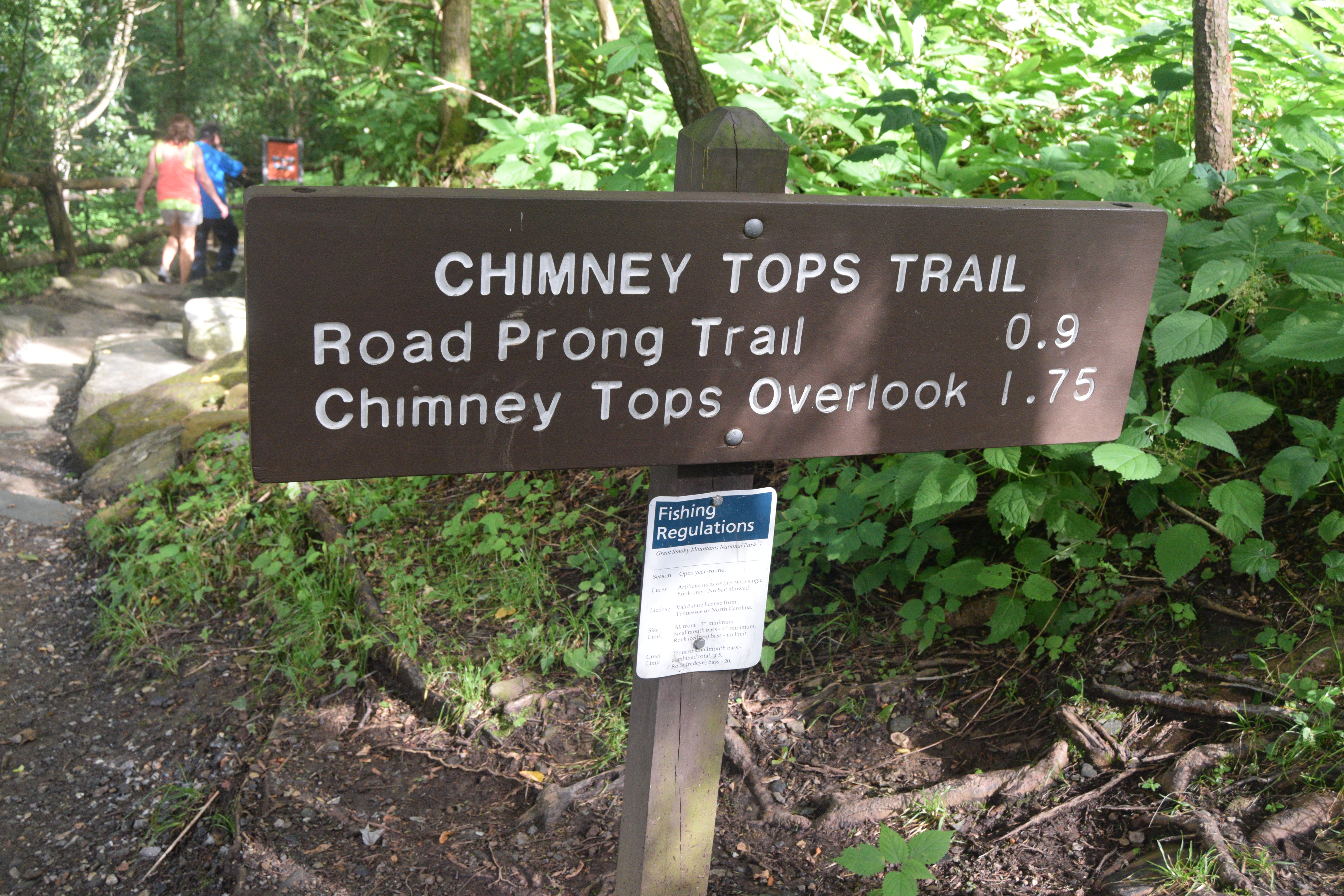
Chimney Tops
This popular trail was the site of a terrible fire in 2016 which burned an area of about 11,000 acres. Most of the trail has been reopened but there is still no access to the pinnacles – the Chimney Tops.


 (Visible scars of the fire)
 (Beautiful scenery as you drive along…)
Newfound Gap
Indian Gap – about 1.5 miles away, was long considered the lowest gap in the mountains. In 1872, a lower easier crossing was discovered which became known as the ‘newfound’ gap. Its still nearly a mile high so temperatures here can be 10 degrees cooler than in the lowlands. The gap straddles the state line between Tennessee and North Carolina and the Appalachian Trail also crosses the area.

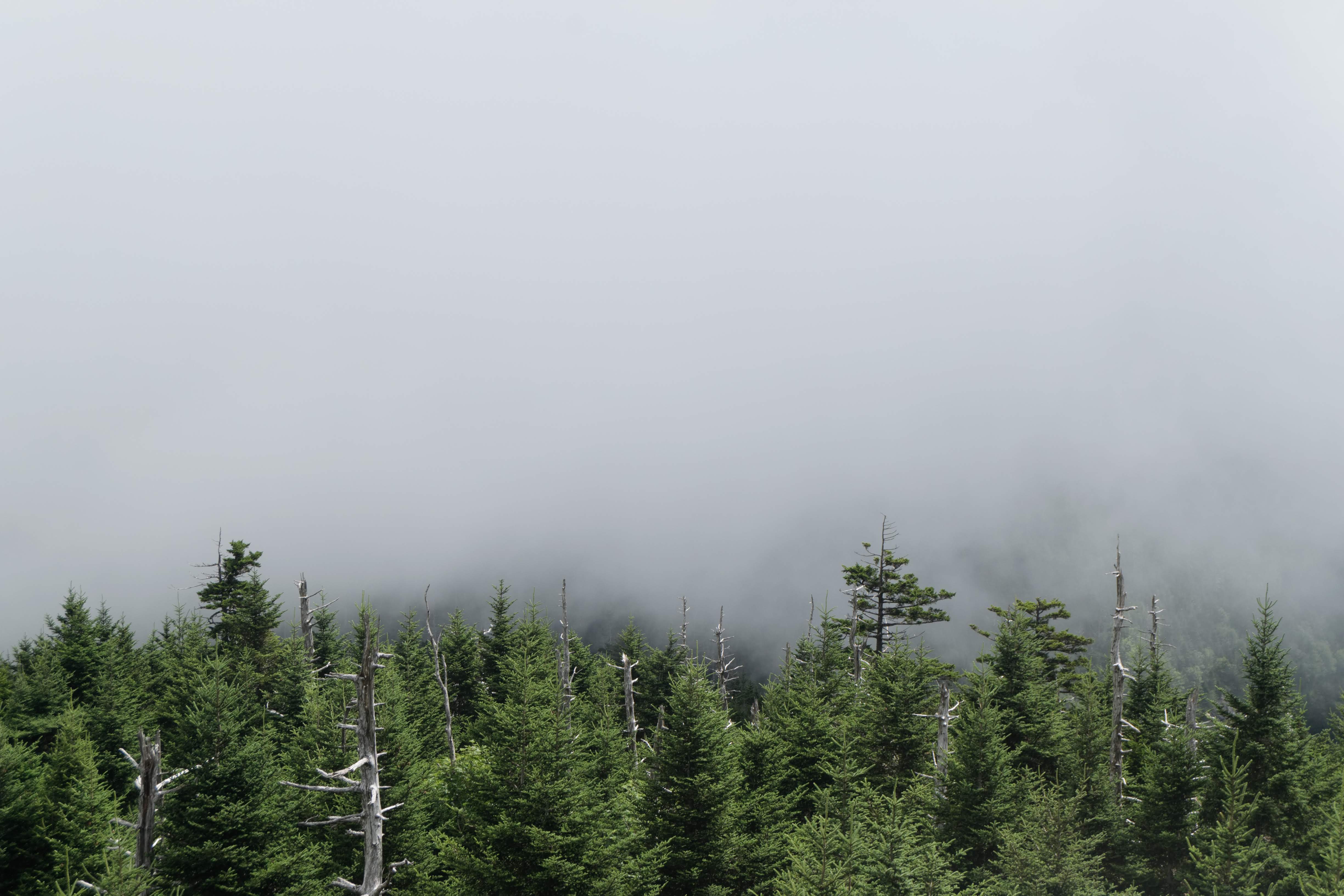
Clingmans Dome
This is the highest point in Tennessee. A steep enough trail brings you from the car park to an observation tower which offers great mountain views if you get a clear day.

 (The trail doesn’t look too bad but its steep in places and there was plenty of huffing, puffing and whinging children (and adults!)
 (Summer wildflowers along the trail)
 (Top of the world – well a least top of Tennessee!)
 (If you get a break in the clouds then take your photos quickly…..)
 (…..because the scene can change very rapidly!)
 (You can access the Appalachian Trail and if you don’t feel like hiking the 2181 miles then at least get the photo!)
 (Yeah – well done for walking 50 yards!)
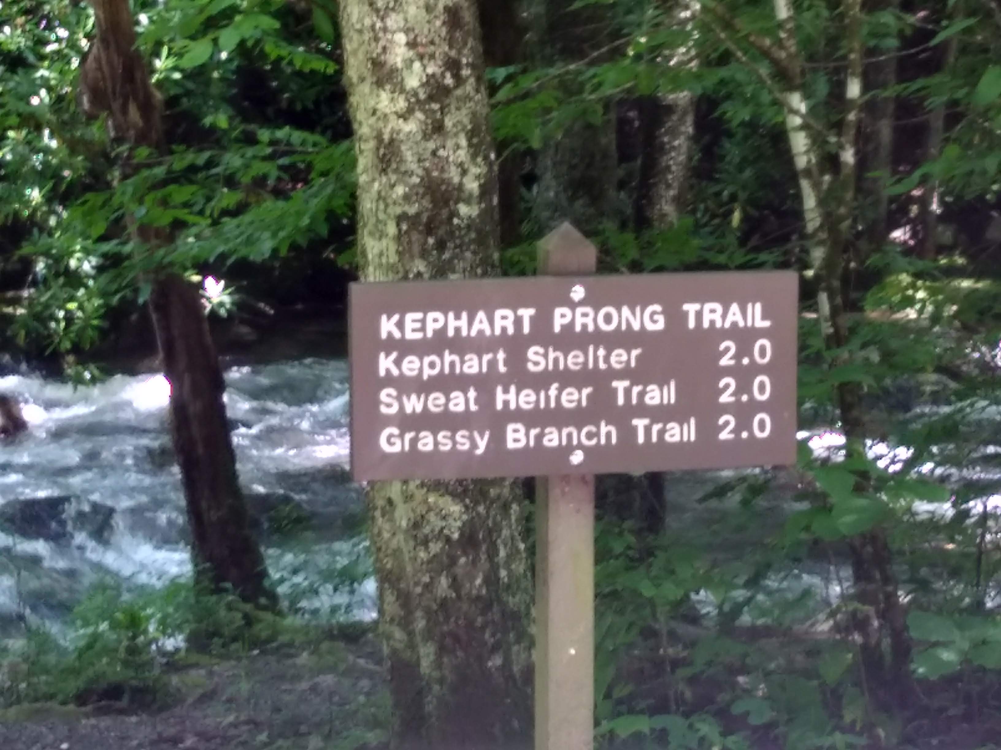
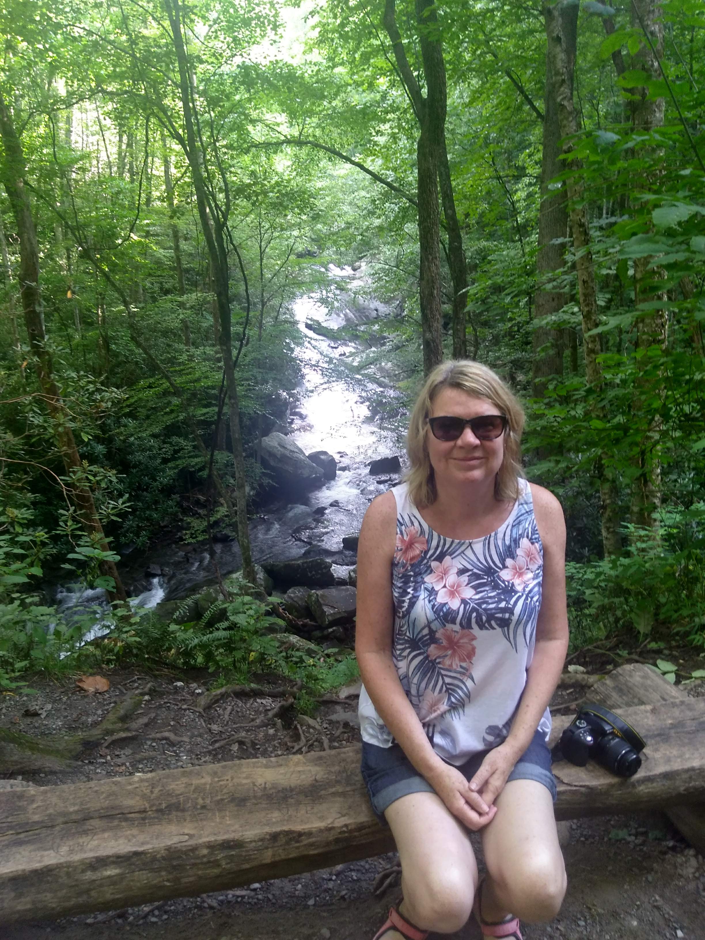
Kephart Prong Trail
This path follows along by the Oconoluftee River which can be crossed using log bridges. There are remains of early 20th century buildings on the trail.


Time for a break -there’s a picnic area just beyond Kephart Prong Trail.

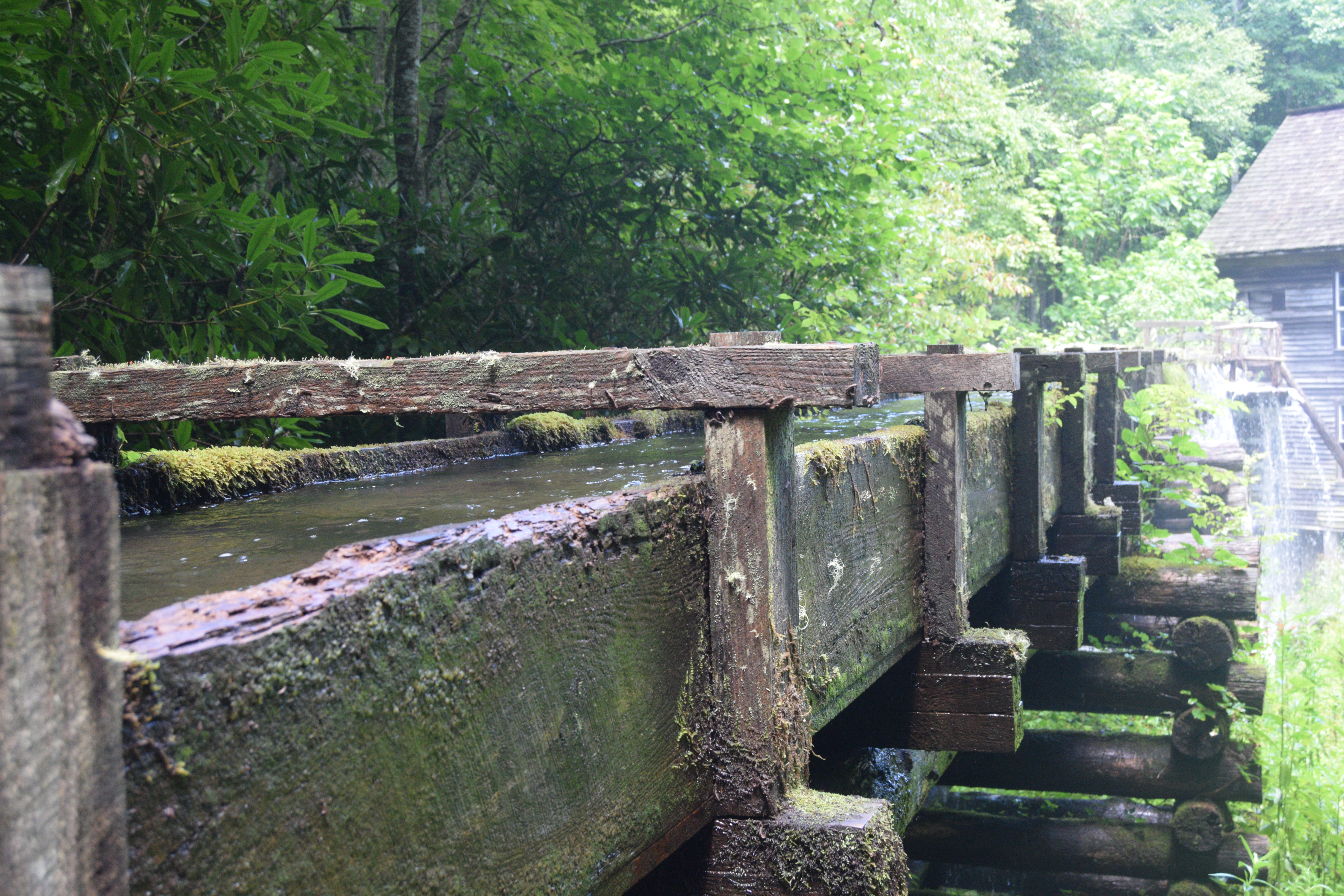
Mingus Mill
This mill was built in 1886 and served over 200 families who brought their wheat and corn to have it ground. The miller was given a percentage of the crop – a mill toll – which he could then sell on to others.
The mill still functions – water from a nearby creek is channeled into a ‘millrace’, leading in turn into an elevated ‘flume’ closer to the mill. Excess water is directed over the sides like a waterfall and a filter sifts sticks and leaves.
A miller demonstrates the grinding process and you can purchase corn meal that is ground at the mill.


Cherokee and Bryson City
Down through the Cherokee Indian Reservation and into the town of Cherokee – you are back in touristville. There are museums dedicated to the Cherokee people and stores offering crafts. In Bryson City you can take a trip on the Smoky Mountain Railway.


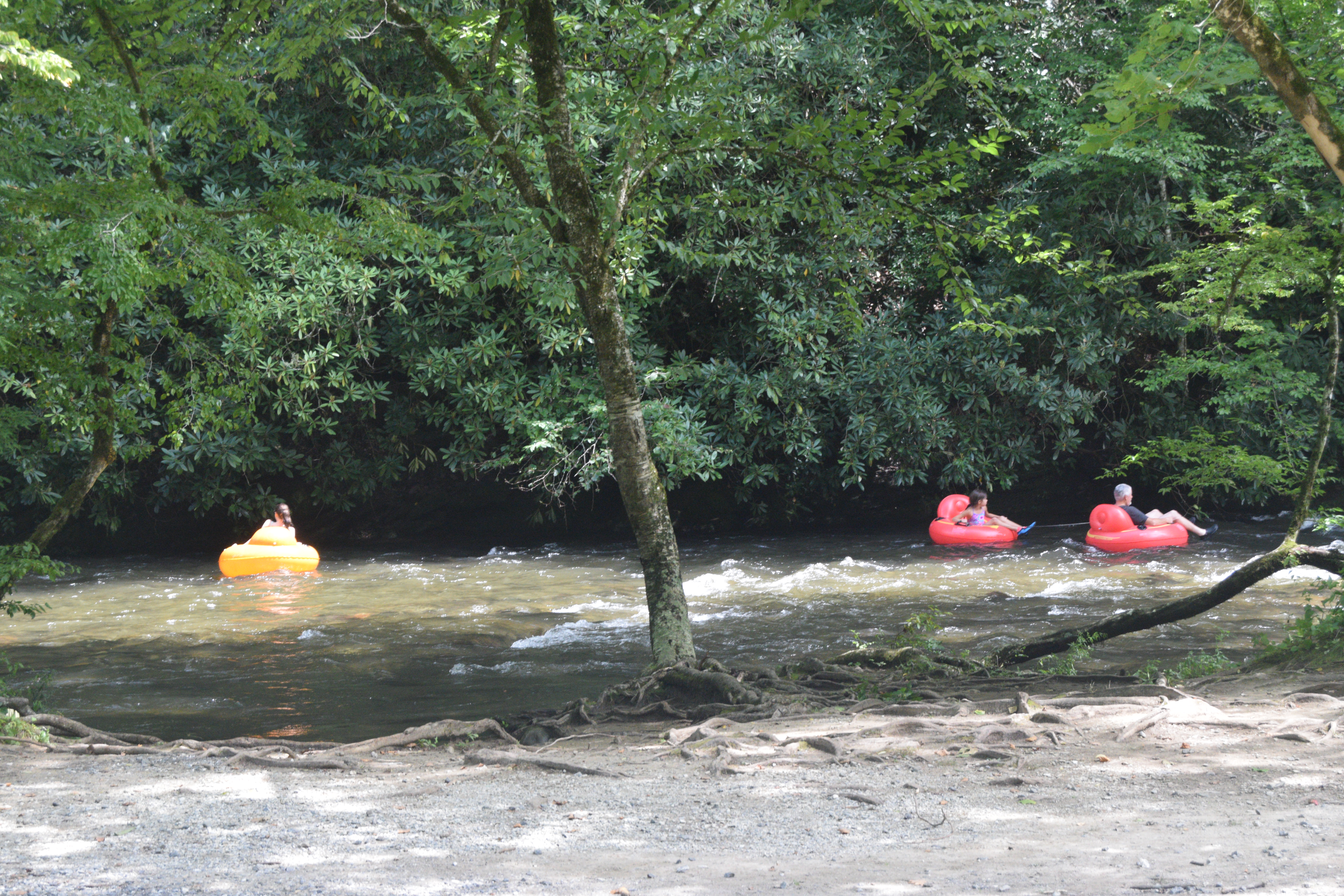
Deep Creek
If you are spreading your visit over a few days then you will have enough time to reach this area which is a bit off the beaten track but just a few miles from Bryson City. There are several loop trails in the region and its one of the few places in the park where there are trails for bikes.


(Lots of tubes for rent…..)

")
(Or bring your own!)


Route 2– Little River Road to Cades Cove
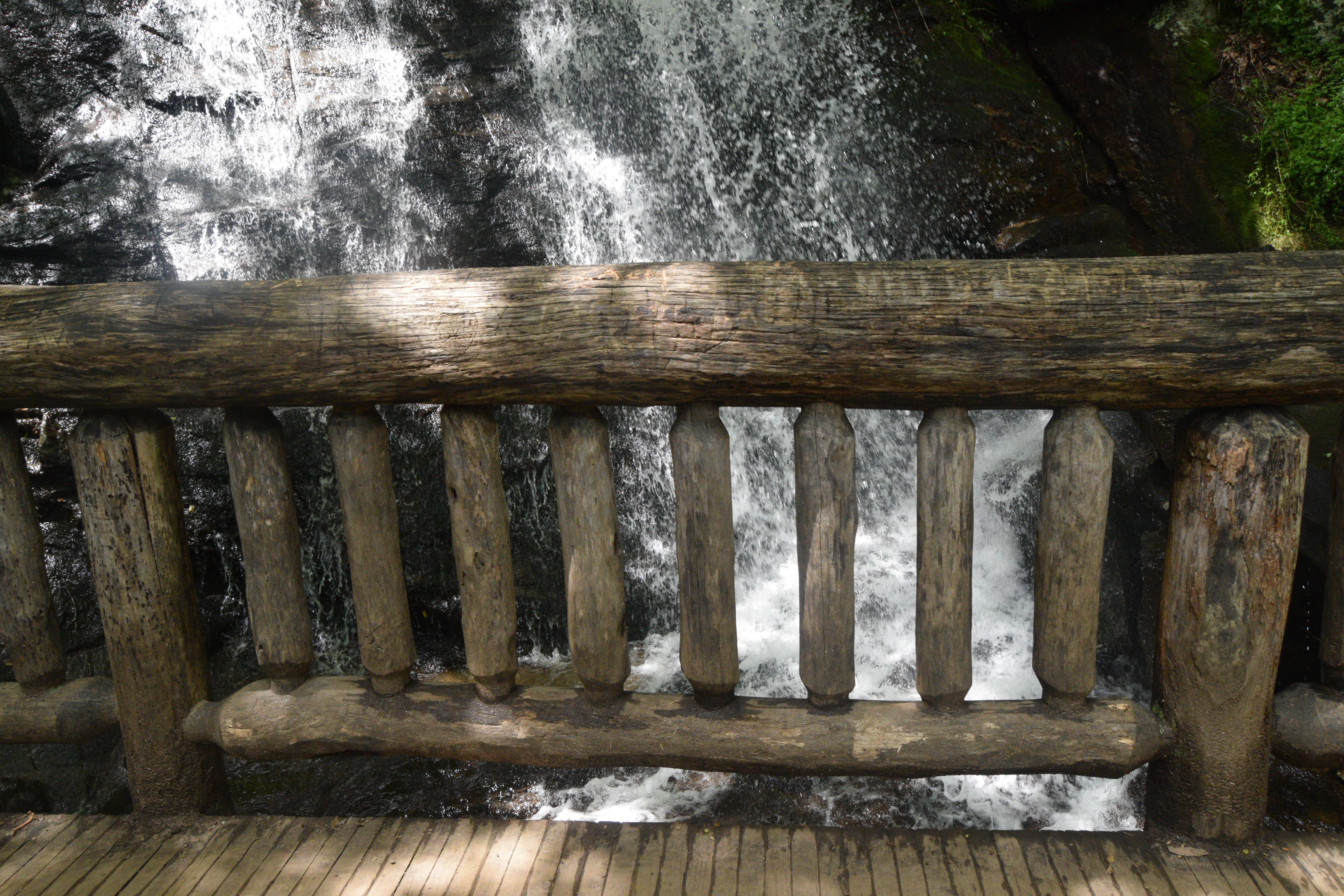
Laurel Falls
This is one of the most popular spots in the park so get there early – especially at weekends. Parking is limited so you might have to add another hike to the 2.6 miles moderate round trip. The waterfall itself has an upper and lower section, divided by a walkway at the base of the upper falls.


 (Nice waterfall…..)
 (…..bit on the crowded side though!)
Little River Road
 (Its a lovely drive along by the river)
 (Our first bear sighting! Saw 4 more during the day including 2 right on the side of the road)
Middle Prong Trail
This is a nice trail which follows an old railroad route used in logging times. Its more about the walk along by the river than a particular destination.


Cades Cove
Most visitors to the park head for Cades Cove (a ‘cove’ is actually a flat valley between mountains). Access is via a one-way 11 mile loop and you get a tour map at the beginning of the trail ($1 charge). The route takes you past churches and homesteads. It can be busy so you need to allow a few hours. During the summer months, on Wednesdays and Saturdays, the route is reserved for cyclists until 10.00am.
 (The landscape is different from elsewhere in the park)
 (There are several churches in the Cove)

 (Interesting reading in the graveyard)
 (Traffic can build up at times)
 (Traditional buildings)


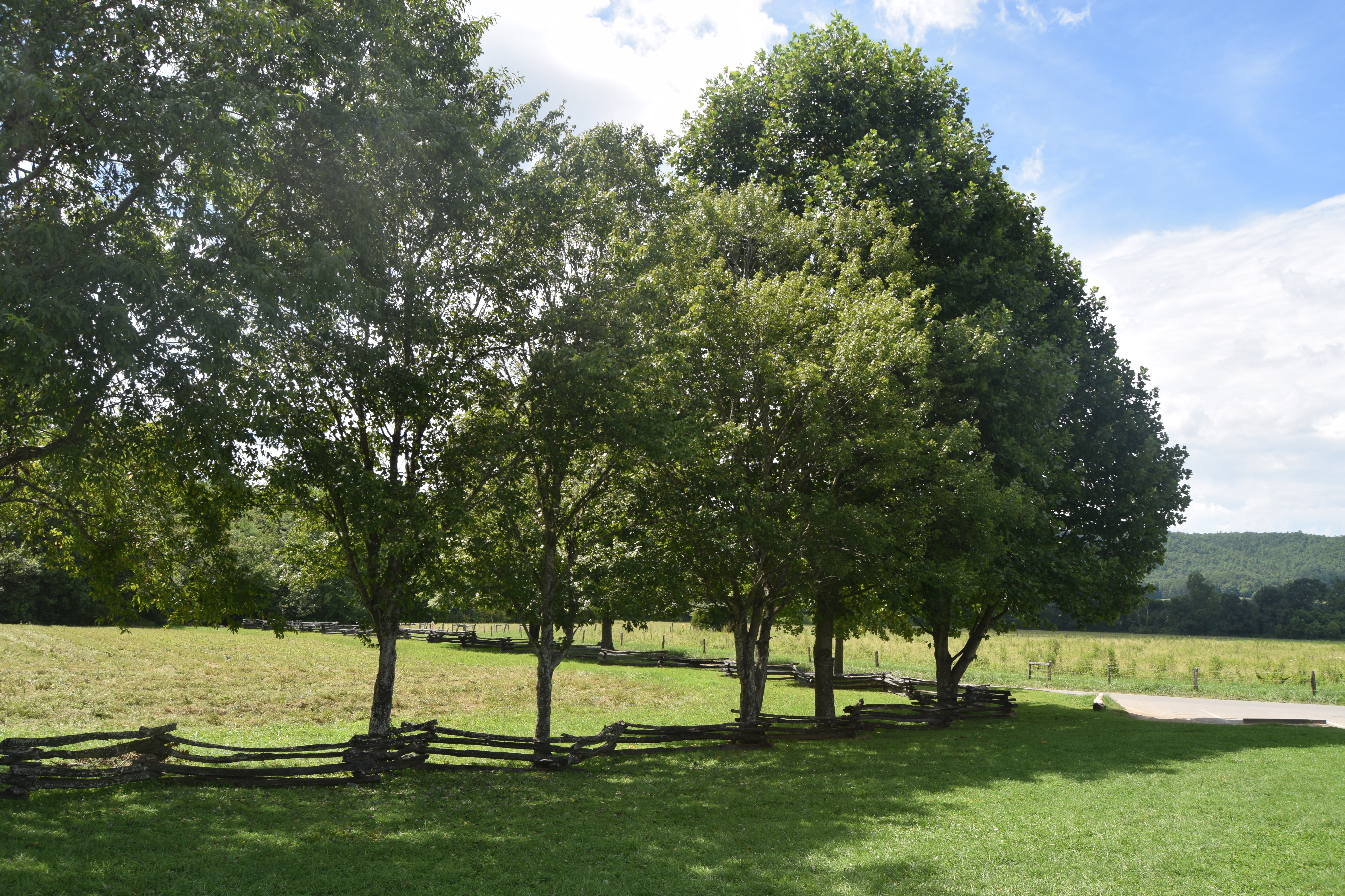
 (Snake rail fence)
A few Facts and Figures
The vegetation emits moisture and organic compounds which form a bluish haze. The Cherokee used the word shaconage meaning ‘blue, like smoke – thus inspiring the name Smoky Mountains.
The National Park was officially opened in 1934.
Speed limits are 35 mph or less.
It maintains campgrounds in 9 locations. There are more than 100 back country campsites also.
Around 1500 black bears live in the park.
There are 800 miles of hiking trails.
There’s less than 3 miles of paved trails!
72 miles of the Appalachian Trail runs through the mountains.
♦♦♦♦♦♦♦♦♦♦♦♦♦♦♦♦♦♦♦
Other Stuff
Getting there:
From Tennessee: the park is easily accessible from Gatlinburg, Townsend and Pigeon Forge.
From North Carolina: Asheville is 54 miles from the Oconaluftee Visitor Centre.
Entrance fee:
There is no charge
Driving distances:
Gatlinburg to Deep Creek – 47 miles
Gatlinburg to Cades Cove – 27 miles
Fuel:
There are no gas stations in the park
Food and Drink in the park:
Very limited choices in the park. Stock up in the satellite towns before you set off. We got great sandwiches in Old Dad’s Store in Gatlinburg.

Find out what else we did in Tennessee –Tennessee – Highlights from a 2 week Road Trip